Choosing and Using a 2D Basemap
On GEO4X, you can change the map background to adapt the visualization to your mission (topography, inspection, layout, etc.). Three types of background are available in the left-hand side menu.
📍 Where to change the map background?
In the menu on the left-hand side of the screen, select the icon representing a map.
The three available map backgrounds will appear:

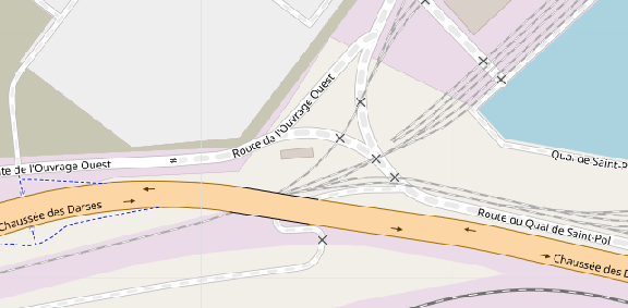
1. 🏙️ Standard map
-
Description:
A classic vector map with :
- street names,
- green spaces (green),
- water bodies (in blue),
- built-up areas clearly represented (in gray).
-
Ideal use:
✔️ Urban visualization
✔️ Understanding the geographical context
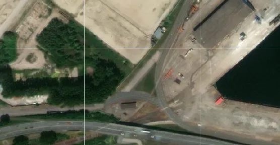
2. 🛰️ Satellite view
-
Description:
A high-resolution satellite image, similar to that found on Google Earth.
-
Ideal use:
✔️ Verification of ground conditions
✔️ Visual identification of specific structures or areas
✔️ Check georeferencing quality
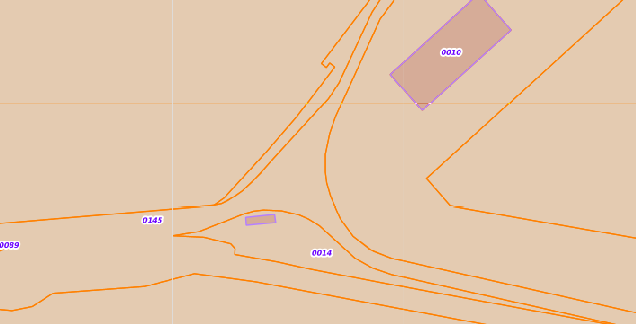
3. 🧾 Cadastre
-
Description:
Displays cadastral boundaries with parcel numbers.
-
Ideal use:
✔️ Land identification
✔️ Verification of correspondence between deliverables and parcels.
✔️ Legal or administrative referencing
🔄 Why change your base map?
Changing your map background allows you to :
- Visually contextualize your data according to need (terrain, legal, urban),
- Validate your measurements or markings more quickly,
- Work with a variety of partners (urban planners, surveyors, local authorities, etc.).